Robotics
How Robots Know Where They Are
Localisation combines wheel measurements, inertial sensors and observations of the surroundings, because no single source is accurate enough to be trusted on its own.
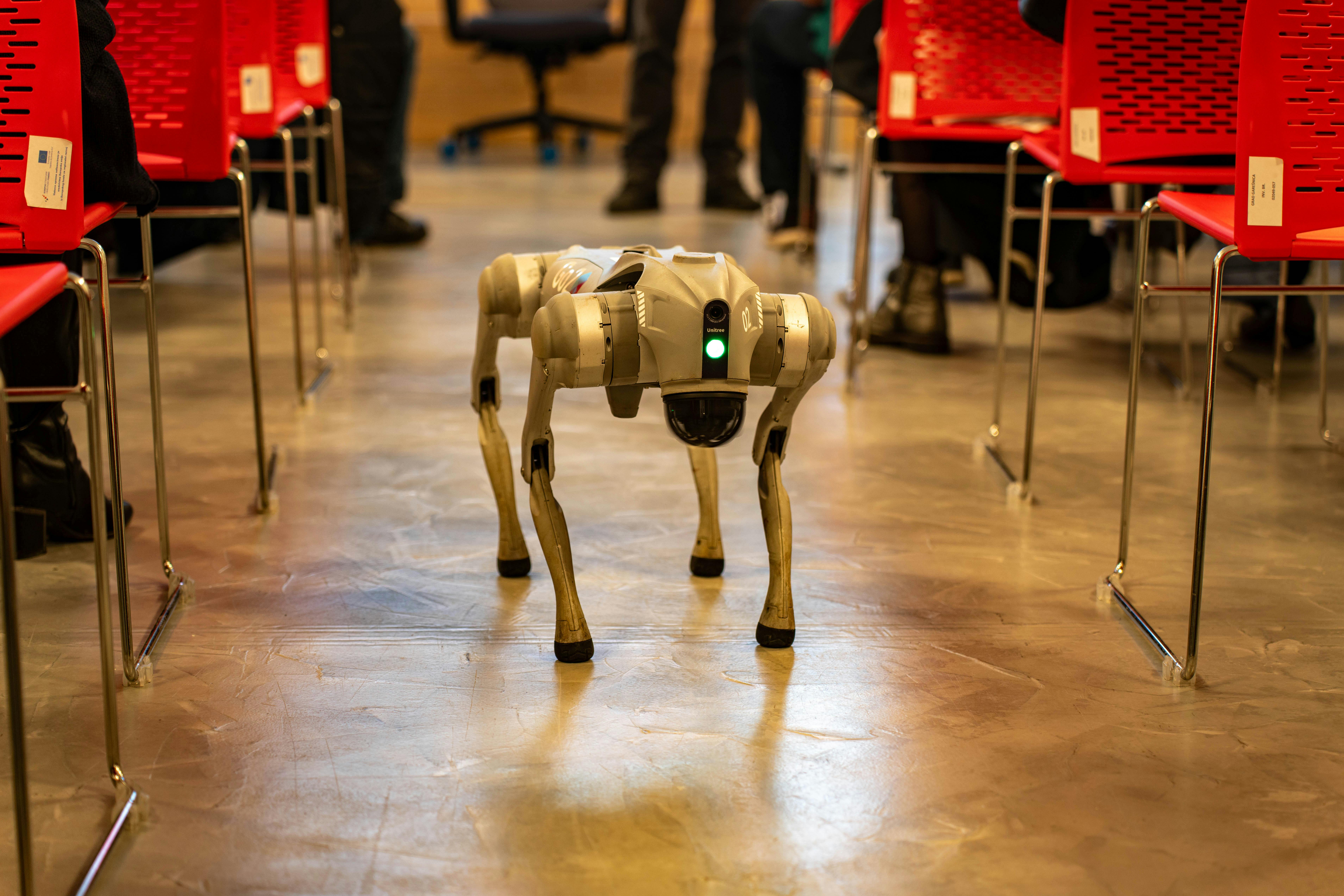
A mobile robot must continuously estimate its own position. No sensor provides that directly, so the estimate is assembled from several imperfect sources that fail in different ways.
Dead reckoning drifts without bound
Counting wheel rotations gives an estimate of distance travelled, which is cheap, immediate and accurate over short intervals.
Errors accumulate, because wheels slip, tyres compress under load and surfaces differ, and nothing in the method ever corrects an error once made.
Over a long route the estimate diverges from reality steadily, so this source must always be combined with something that observes the world.
Inertial sensors fill the gaps but drift too
Accelerometers and gyroscopes measure motion directly and respond quickly, which makes them valuable between slower observations of the surroundings.
Integrating their output to obtain position amplifies small biases into large errors within seconds, so they cannot be relied on alone.
Their real value is short-term continuity, holding the estimate steady while a camera is obstructed or a scan is being processed.
Matching against a map provides correction
Comparing current sensor readings with a stored map allows the robot to identify where it must be for those readings to make sense.
This corrects accumulated drift, but it fails where the environment looks the same in many places, such as long identical corridors.
It also fails when the environment has changed since the map was built, which happens continuously in any working space.
Building the map while using it
Robots frequently construct a map and localise within it at the same time, resolving both problems together from the same observations.
The approach works because recognising a previously visited place lets the system correct the whole accumulated path at once.
Detecting those revisits reliably is the difficult part, since a false match corrupts the map in ways that are hard to undo.
Fusion is about knowing what to distrust
Combining sources requires estimating how much confidence each deserves at each moment, and those confidences change with conditions.
A camera-based estimate should be discounted in poor lighting, and wheel data should be discounted on a slippery surface, which the robot must infer.
Systems that handle this well degrade gracefully as sensors become unreliable, while those that do not fail suddenly and without warning. The difference is rarely visible in a demonstration, because demonstrations happen in conditions where every sensor works.
A robot that reports low confidence and slows down is behaving correctly, even though it looks less impressive than one that proceeds confidently on an estimate it should not trust.